2025
– 2027
Identification of Subsurface Structures for Geological Disaster Mitigation in Sukabumi City Using the Gravity Method
This study aims to identify and model subsurface geological structures in Sukabumi, West Java, using the gravity method. Gravity data will be analyzed to map density variations and identify potential faults, weak zones, and other geological structures associated with geological hazards. The results are expected to support geological disaster mitigation, spatial planning, and sustainable urban development in Sukabumi.
Overview
The Sukabumi region in West Java is characterized by complex geological conditions influenced by tectonic and volcanic activities. These conditions contribute to the region’s susceptibility to geological hazards such as earthquakes, landslides, and ground deformation. However, information on the subsurface geological structures that control the development of these potential hazards remains limited. This lack of subsurface information poses a challenge to disaster mitigation efforts and the planning of safer and more sustainable development.
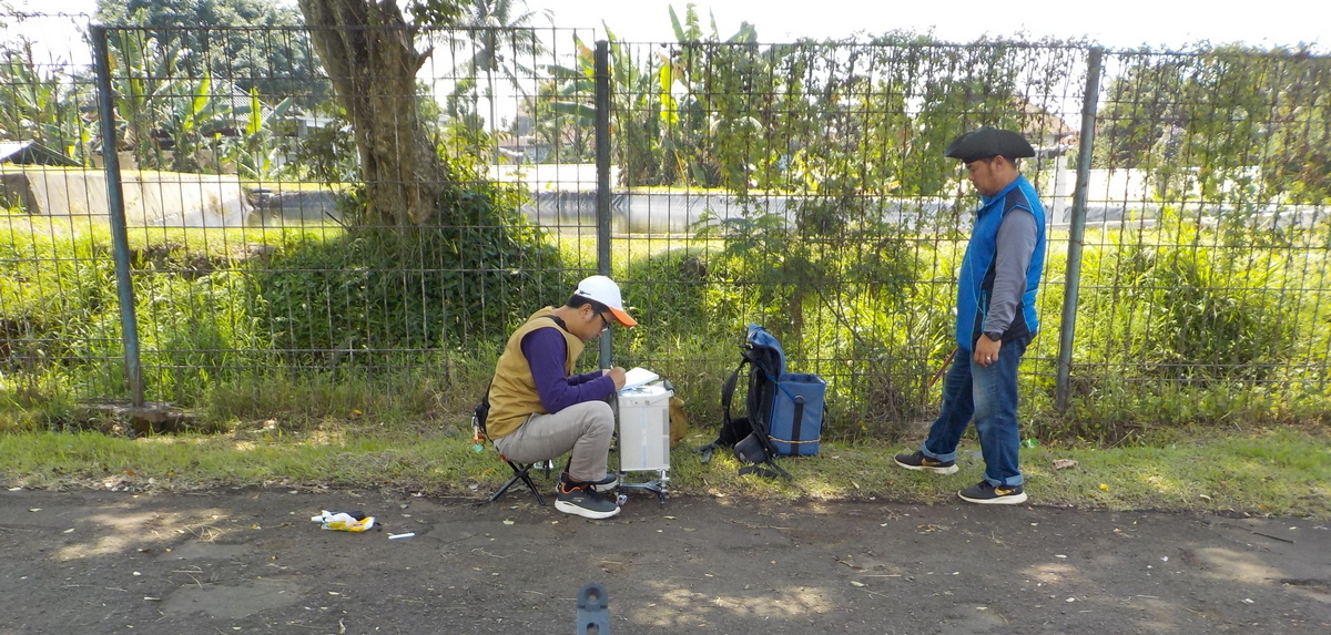
This study aims to identify and model subsurface structures in the Sukabumi region using the gravity method to support geological disaster mitigation efforts. The gravity method will be employed to map variations in rock density through the analysis of Bouguer anomalies derived from field measurements. The acquired gravity data will undergo standard corrections and be analyzed using anomaly separation techniques and potential-field derivative filters, such as the Second Vertical Derivative (SVD) and horizontal gradient, to identify indications of geological structures, including faults and zones of weakened rock. Subsequently, subsurface modeling will be conducted to characterize the geometry and depth of the identified geological structures.
The expected outcomes of this study include a Bouguer anomaly map, a subsurface structural model, and a map indicating zones potentially vulnerable to geological hazards in the Sukabumi region. These results are expected to provide a scientific basis for supporting disaster mitigation, spatial planning, and geological disaster risk reduction. The targeted research outputs are publications in reputable international journals indexed in Scopus (Q1/Q2) and an international conference proceeding.
This study aims to identify and model subsurface structures in the Sukabumi region using the gravity method to support geological disaster mitigation efforts. The gravity method will be employed to map variations in rock density through the analysis of Bouguer anomalies derived from field measurements. The acquired gravity data will undergo standard corrections and be analyzed using anomaly separation techniques and potential-field derivative filters, such as the Second Vertical Derivative (SVD) and horizontal gradient, to identify indications of geological structures, including faults and zones of weakened rock. Subsequently, subsurface modeling will be conducted to characterize the geometry and depth of the identified geological structures.
The expected outcomes of this study include a Bouguer anomaly map, a subsurface structural model, and a map indicating zones potentially vulnerable to geological hazards in the Sukabumi region. These results are expected to provide a scientific basis for supporting disaster mitigation, spatial planning, and geological disaster risk reduction. The targeted research outputs are publications in reputable international journals indexed in Scopus (Q1/Q2) and an international conference proceeding.
Project Information
- Period
- 2025 – 2027
- Status
- Ongoing
- Role
- Principal Investigator
- Institution / Partner
- Institut Teknologi Bandung